
Looking Up San Luis Obispo Neighbors
The public block view in San Luis Obispo is made of separate record sets. The map shows parcels and layers. The assessor describes each parcel. The recorder follows an owner or instrument. City permits show project activity. Reverse directories preserve some past occupants or businesses by house number. A voter file may show qualifying registered voter information only through a permitted request. A neighborhood organization can publish a contact or event while keeping its private member list closed.
| Source | What it shows about a block | Access |
|---|---|---|
| County GIS | Parcel adjacency, street frontage, land use, jurisdiction, selected layers | Free map browse and click |
| Assessor parcel inquiry | Separate APN assessment facts and available owner or mailing fields | Public APN or situs route; counter help |
| Recorder index | Transfer history for owners found parcel by parcel | Free index; image or kiosk route |
| City permits | Project activity and named participants at an address range | InfoSLO, archive, or CPRA |
| Reverse directory | Historical occupants or businesses by house number | Library or History Center collection |
| Voter data | Registered voters if purpose and request qualify | Written application and restrictions |
A block result should keep the words “parcel,” “owner,” “participant,” and “neighbor” distinct. A nearby parcel is a geographic fact. An owner is an indexed interest. A permit applicant is tied to a project. None automatically establishes who lives in the building today.
San Luis Obispo Block Record Coverage
The most reliable block method is to open each APN separately. Public anonymous use of the San Luis Obispo Property Inquiry Portal is documented for APN and situs. Owner-name and DBA modes require authenticated assigned access, and the research did not verify that a mailing address appears in anonymous output. If staff supplies a mailing field, describe it as tax correspondence, not as proof of a neighbor's residence.
InfoSLO adds city mechanics. Search a partial or complete address with the magnifying glass, choose Parcel and enter an APN, or identify a parcel on the map. Results can associate Parcel, Owner, Permit or Plan, and Inspections, with filtering or pinning. The official guide does not document a radius or buffer tool, so a San Luis Obispo neighbors search should use map pan and parcel selection instead of promising an automatic circle.
The InfoSLO parcel and permit system is the source captured for the block mechanics.
The California DROP privacy portal is the source captured for the privacy image.
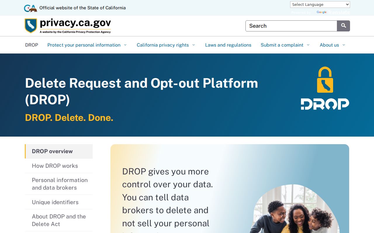
The map-and-record route starts with land, while privacy tools determine which people data should never be added to the block view.
Click Parcels Around San Luis Obispo
Use an adjacent-parcel method when the question is who or what sits around one known address. County GIS can place the target, show lot lines, and expose layers for jurisdiction, land use, zoning, hazards, and aerial context. The target APN is the anchor. Each shared-boundary parcel and across-street parcel becomes a separate lookup. The process is a map walk, not a public roster.
- Search the target address or APN in County GIS and zoom until the parcel lines are clear.
- Click the target polygon and record its APN, situs, jurisdiction, and relevant map layers.
- Pan to each parcel sharing a boundary and each parcel across the street; record each APN separately.
- Open each APN in the Assessor route and keep assessment or ownership facts tied to the correct parcel.
- Use the recorder for dated transfers and InfoSLO for permits, plans, inspections, or code cases linked to a parcel.
Process flow: one address → GIS parcel → adjacent APNs → assessor facts → recorder dates → city project history. If the goal becomes a whole named street, switch to the San Luis Obispo street directory address chain rather than expanding the block method indefinitely.
The first three APN digits can identify a map book in the Property Inquiry Portal's directory browse, while the parcel shape helps prevent a corner-lot or across-street mix-up.
San Luis Obispo Permit Neighbors
Permit activity can add time and context to a block. InfoSLO may associate an address or parcel with a permit, plan, inspection, or code case. A project can name an applicant, contractor, architect, owner, or contact person. That person is connected to a public project at a stated date. The result does not tell the current household at the address.
Search both the current and historical street spelling. If the summary does not name an applicant, request the underlying application. The city archive and CPRA route can supply existing nonexempt records, while a Land Use Documentation Request is a different paid service that compiles zoning, entitlements, conditions, exceptions, and code violations for a specified property. Printed building plans have copyright-related affidavit and authorization rules; in-person viewing does not require those release forms.
A permit clue can explain why a neighboring parcel changed shape, use, or address. It should be cited as project history, not as proof of a person present.
Buena Vista Estates and San Luis Obispo
The verified civic example in the local sweep is Buena Vista Estates Homeowners Association, a group of 27 homes on roughly ten acres near Terrace Hill Open Space. The city recognized it in 2026 as the first Firewise USA community in the city. The city Firewise program describes sites of 8 to 2,500 single-family dwelling units and neighborhood committees of five with a leader or liaison.
Neither the association story nor the Firewise page publishes a member or resident directory. That distinction is useful. A public contact, meeting, or recognition can show that an organization exists. It does not open a private roster. San Luis Obispo neighbors can use the public organization facts for civic context while keeping household identity within the records and permissions that actually apply.
| Buena Vista Estates | Recognized 2026 as the city's first Firewise USA community |
|---|---|
| Local scale | 27 homes on roughly ten acres near Terrace Hill Open Space |
| Firewise site range | 8 to 2,500 single-family dwelling units |
| Committee model | Five-person neighborhood committee with a leader or liaison |
| Directory status | No published member or resident directory verified |
The city's Buena Vista Estates notice is the source captured for the named neighborhood example.
The Safe at Home applicant page is the source captured for the confidentiality image.
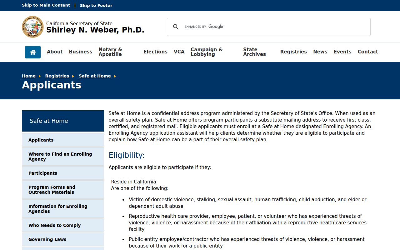
Organization context belongs beside the privacy route, not in place of a verified parcel or resident record.
San Luis Obispo Voter Data Rules
The County Voter Status Lookup is designed for a person's own registration check. It can ask for first name, last name, date of birth, and address or house-number and ZIP information as the tool directs. It may return status or precinct information, not a browseable list of nearby voters. A voter-data application must state a permitted election, scholarly, journalistic, political, or governmental purpose under Elections Code sections 2188 and 2194. Commercial use is prohibited.
A qualified file can include residence and mailing address, registration status and date, party preference, precinct and district, and election participation history. Participation means a ballot was credited, never the person's choices. Social Security numbers, driver-license or state-ID numbers, signatures, and restricted birth-date data are not general public output. Safe at Home participants register confidentially.
The San Luis Obispo voter-record access page is the source captured for the written-request rule.
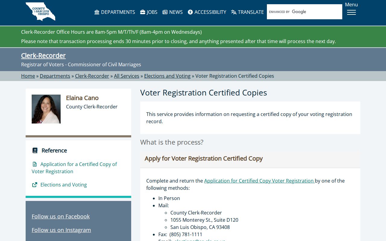
A block lookup should treat voter data as purpose-limited evidence, not as a public neighbor list.
San Luis Obispo Opt-Out Choices
California's Delete Request and Opt-out Platform, known as DROP, lets a consumer send a deletion or opt-out request to registered data brokers through one state route. Consumer access launched January 1, 2026, and registered brokers began mandatory processing August 1, 2026 on recurring 45-day cycles. The free request uses California identity verification and may match name, date of birth, ZIP, email, phone, vehicle, or connected-device combinations. A result can be deleted, opted out, exempt, not found, or pending.
DROP does not delete government originals. Safe at Home is different: it gives eligible participants a substitute mailing address and confidential voter registration through an enrolling agency. It is preventive, not retroactive. Recorded-document redaction has separate statutory processes, and DMV personal information is restricted under the federal Driver's Privacy Protection Act and state law.
The California privacy DROP information is the source captured for the broker opt-out route.
The Safe at Home governing-laws page is the source captured for the program-law image.
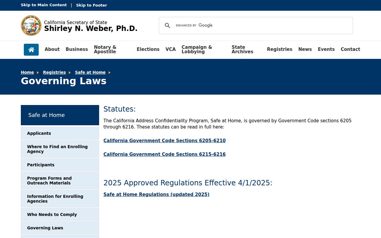
These protections show why a San Luis Obispo neighbors search may return less than a map suggests, and why a missing result should not be filled from guesswork.
Official Rolls and Neighbor Tools
Official block research and compiled neighbor tools differ in provenance. County GIS, Assessor, Recorder, city permits, and voter data each name a custodian and a record boundary. A compiled tool may blend public and purchased data, merge same-name people, lag corrections, or omit its source trail. It can suggest a lead, but the public record that answers the question remains with the custodian.
| Route | Useful for | Limit |
|---|---|---|
| GIS and parcel records | Nearby land, APNs, frontage, jurisdiction | Does not list household members |
| Recorder and permits | Dated owners, instruments, projects, participants | Party or applicant is not automatically a neighbor |
| Voter or group records | Qualified registration or public civic contact | Purpose limits and private rosters apply |
| Compiled neighbor results | Fast cross-source lead | Freshness and identity matching may be unclear |
A cautious San Luis Obispo neighbors result uses the official route for the fact that matters and keeps the compiled category in a secondary, unverified role.
Privacy Limits on San Luis Obispo Neighbors
Nearby parcels do not reveal every person nearby. People who are not owners, unlisted household members, protected voters, Safe at Home participants, and people whose data is held in closed systems may not appear. Utility customer records, delivery information, DMV addresses, juvenile material, adoption records, and confidential voter data have separate privacy or statutory limits.
Lawful personal use. Use San Luis Obispo neighbors research for getting to know a block, family history, civic work, preservation, reconnecting, or personal safety awareness. Never use an address or name trail to watch, stalk, harass, intimidate, or harm anyone.
When the goal becomes a named street, use the full address chain. When it becomes one person, use a name-and-record workflow. When it becomes a past household, pair the deed with directories and census records. A block map is a starting point, not permission to expand a protected person's private life.