
San Luis Obispo ZIP Code Coverage
The verified ZIP evidence for San Luis Obispo is strongest where an official local address or institution publishes the code. The research did not capture a complete station list, precise postal boundary map, or documented split year. Those gaps belong in the notes rather than in a guessed neighborhood list. A ZIP code directory should distinguish a known use from a boundary claim.
| ZIP | Verified local use | Post office context | What to verify |
|---|---|---|---|
| 93401 | City Hall, San Luis Obispo Library, and many city street addresses | Station not captured | Postal boundary and jurisdiction |
| 93405 | West and northwest use, including Cal Poly-adjacent addresses | Station not captured | Boundary and neighborhood coverage with USPS |
| 93407 | Cal Poly official campus address, 1 Grand Avenue | Campus mail context | Institutional code, not a resident roll |
| 93408 | County Government Center, 1055 Monterey Street | Classification not captured | USPS station and jurisdiction |
Codes 93403, 93406, 93409, and 93410 appear in San Luis Obispo postal or organization contexts in the research, but their current acceptance, classification, station, and residential or nonresidential use were not verified. A complete ZIP code directory must not turn those appearances into claims.
93401 and 93405 in San Luis Obispo
93401 is the clearest street-delivery anchor for a San Luis Obispo ZIP code directory because City Hall, the public library, and many city street addresses use it. That evidence shows local use, not a precise city boundary. The postal city can reach beyond incorporated limits, and a parcel inside the city can carry a postal format that does not answer the jurisdiction question.
93405 is associated in the research with west and northwest parts of San Luis Obispo and Cal Poly-adjacent use. The exact boundary and station were not captured from USPS, so a search should treat the code as a clue to verify, not as a finished neighborhood map. Use the full address in the postal lookup, then compare the returned city and ZIP with County LandUseView city-limit and parcel layers.
The USPS ZIP Code Lookup is the source captured for the postal check.
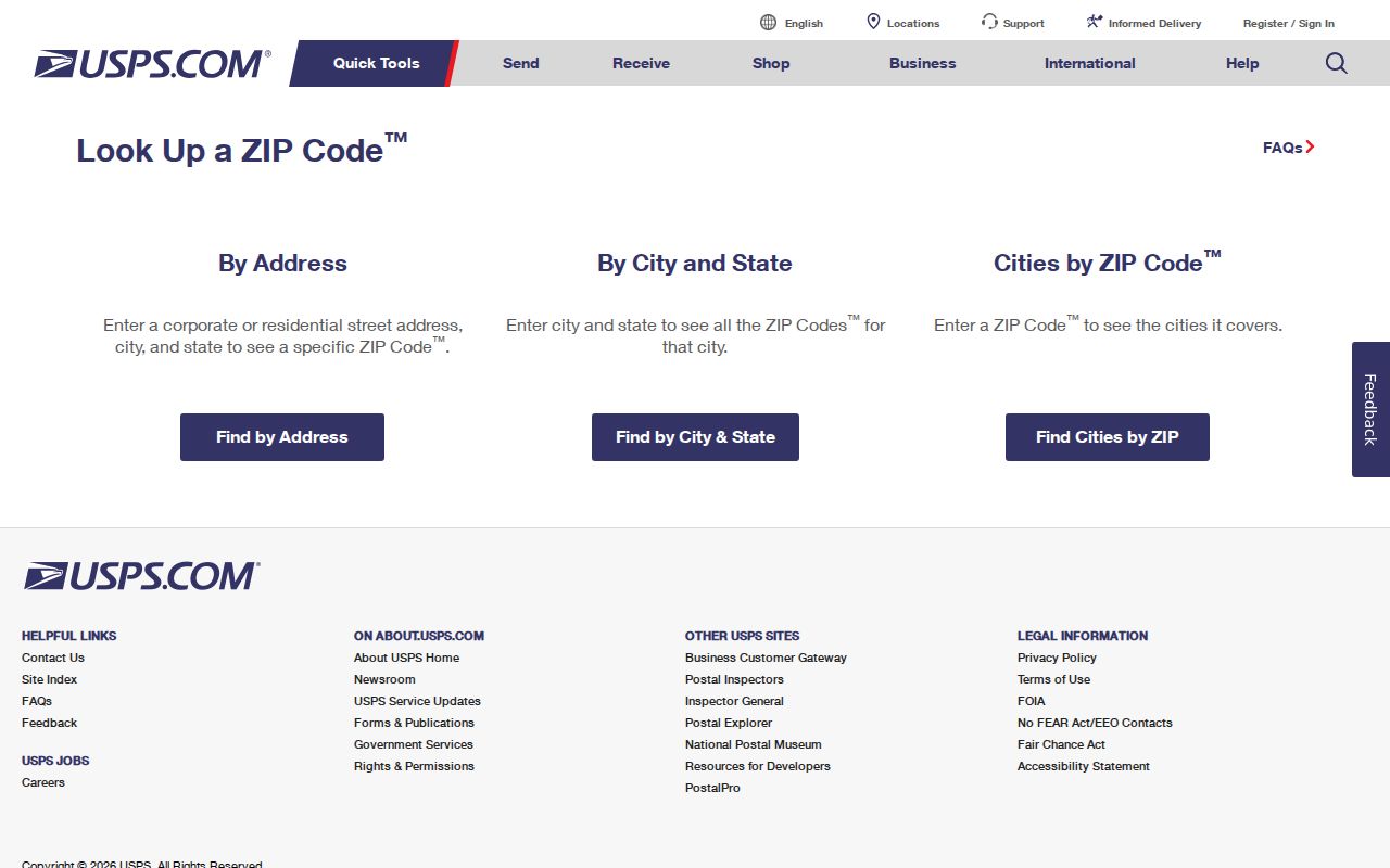
The postal interface is the authority for the address-to-ZIP answer, while the county map is the authority to compare that answer with land and city lines.
Campus and Government ZIPs
93407 and 93408 show why ZIP codes should not be treated as residential districts. Cal Poly's official campus address uses 1 Grand Avenue, 93407. The County Government Center uses 1055 Monterey Street, 93408. Both are strong official address examples. Neither code, standing alone, produces a list of the people who use the campus or government complex.
A campus address can point to a school directory, archive, or public office. A government address can point to the County Clerk-Recorder, Assessor, GIS, or other county service. Use the institution's own record route for a person or office question, then keep the postal code as one location key among the APN, street, and jurisdiction fields.
This is the useful quirk in a San Luis Obispo ZIP code directory: a postal route can describe mail flow, while the underlying people record belongs to a campus, office, parcel, or custodian.
Find San Luis Obispo ZIP Residents
A ZIP code search has to move from postal validation to a record system that actually supports the question. The research found no documented public ZIP-wide filter in the County Assessor Property Inquiry Portal, County Recorder index, or InfoSLO. The assessor route documents APN and situs, plus authenticated owner and DBA modes. InfoSLO documents address, APN, and map search. The recorder search is party and instrument based. A ZIP sweep therefore needs repeated address or map work, an authoritative ZIP layer, or a qualified report route.
- Run the full street address through USPS and save the returned city and ZIP without changing the address text.
- Compare the postal answer with County GIS, city limits, parcel shape, and jurisdiction layers.
- Use the assessor by situs or APN for each known address, then save the parcel key.
- Search the recorder by the parcel's owner clue or known party and date, not by assuming the ZIP is an index field.
- Once the ZIP narrows the address set, switch to the San Luis Obispo street directory for parcel-by-parcel work.
For voter information, the County Voter Status Lookup is a personal verification tool. A voter file requires a written application, a permitted election, scholarly, journalistic, political, or governmental purpose, and the required certification under Elections Code sections 2188 and 2194. It is not a ZIP-based public resident browser.
USPS Fields for San Luis Obispo ZIPs
The USPS lookup accepts a street address, a city and state, or a ZIP code. Its small field set is useful because it makes the postal question explicit before a county record search starts. A returned ZIP confirms the mail format for the query, but it does not certify the city limit, parcel owner, or people at the address.
| USPS input or control | Type | Use | Limit |
|---|---|---|---|
| Street address | Text | Return the ZIP for one location | Postal result, not parcel proof |
| City and state | Text pair | Check city and ZIP combinations | Does not draw municipal lines |
| ZIP code | Text | Verify a code's postal format | Does not create an occupant list |
| Find | Button | Submit the query | Result depends on current USPS data |
| Clear | Button | Reset the query | No record access beyond the lookup |
A postal answer should be saved with the query date. If the person or parcel question remains, move to the local custodian instead of treating the ZIP result as a directory search.
San Luis Obispo ZIP Search Limits
The County Assessor portal does not advertise a public ZIP-wide mode in the captured research. The Property Inquiry Portal documents APN, situs, authenticated owner, and authenticated DBA searches. County GIS can compare parcels and jurisdiction. InfoSLO can search address or APN. The recorder index has no address or ZIP field. These limits mean a ZIP code directory is a way to narrow known addresses, not a promise of one-click coverage for every person in a code.
For a large set, record each address and APN separately, keep the postal code beside the parcel key, and mark any unverified boundary. Do not merge 93401 or 93405 with every organization that uses the same postal city. Do not infer the current use of 93403, 93406, 93409, or 93410 from appearance alone.
San Luis Obispo ZIP Boundaries
USPS assigns ZIP codes for delivery. San Luis Obispo assigns and maintains addresses through development, building, and engineering processes. County GIS and the Assessor maintain parcel and situs references. These systems overlap, but they do not draw the same map. A San Luis Obispo mailing city can extend beyond incorporated limits, and a city parcel's postal code does not prove that every record belongs to City Hall.
The mismatch matters when a name search begins with a mailing label. A county record can cover unincorporated land that uses a San Luis Obispo postal city. A city record can cover a project or office whose postal code is shared by a campus or government route. Keep the postal answer, parcel answer, and agency answer in separate notes so a ZIP code directory does not turn a mailing label into a false city boundary.
Use USPS to confirm postal format and County GIS to confirm parcel and jurisdiction. The legal description remains the land identity in a deed or plat. The mailing address is where notices go. The situs is the physical location. An APN can change after a split or merger. Those three address concepts should travel together in a careful ZIP code directory search.
- ZIP versus ZIP+4
- The five-digit ZIP routes mail broadly; the added four digits refine delivery, not municipal jurisdiction.
- PO-box ZIP
- A postal route for boxes or a specific facility, not a list of people at a street.
- Unique ZIP
- A code used by one institution or defined organization rather than a broad neighborhood.
- Carrier route
- A delivery sequence within postal work, not a public parcel or resident roll.
Boundary check. A ZIP code is a mail clue. Verify city limits, parcel jurisdiction, and the record custodian separately before naming a San Luis Obispo address as part of a local roll.
Historic Records by ZIP Context
Older records rarely use a ZIP code as their main key. A city directory, newspaper, Sanborn map, permit, or deed is more likely to use a street, block, lot, legal description, or named person. The SLO Building Permits Collection covers 1906 through 1937, with more than 4,000 permits and annual indexes for 1923 and 1928 through 1937, but it is incomplete. A historic map can place a building before modern postal routes were stable.
The San Luis Obispo Building Permits finding aid is the source captured for that earlier address context.
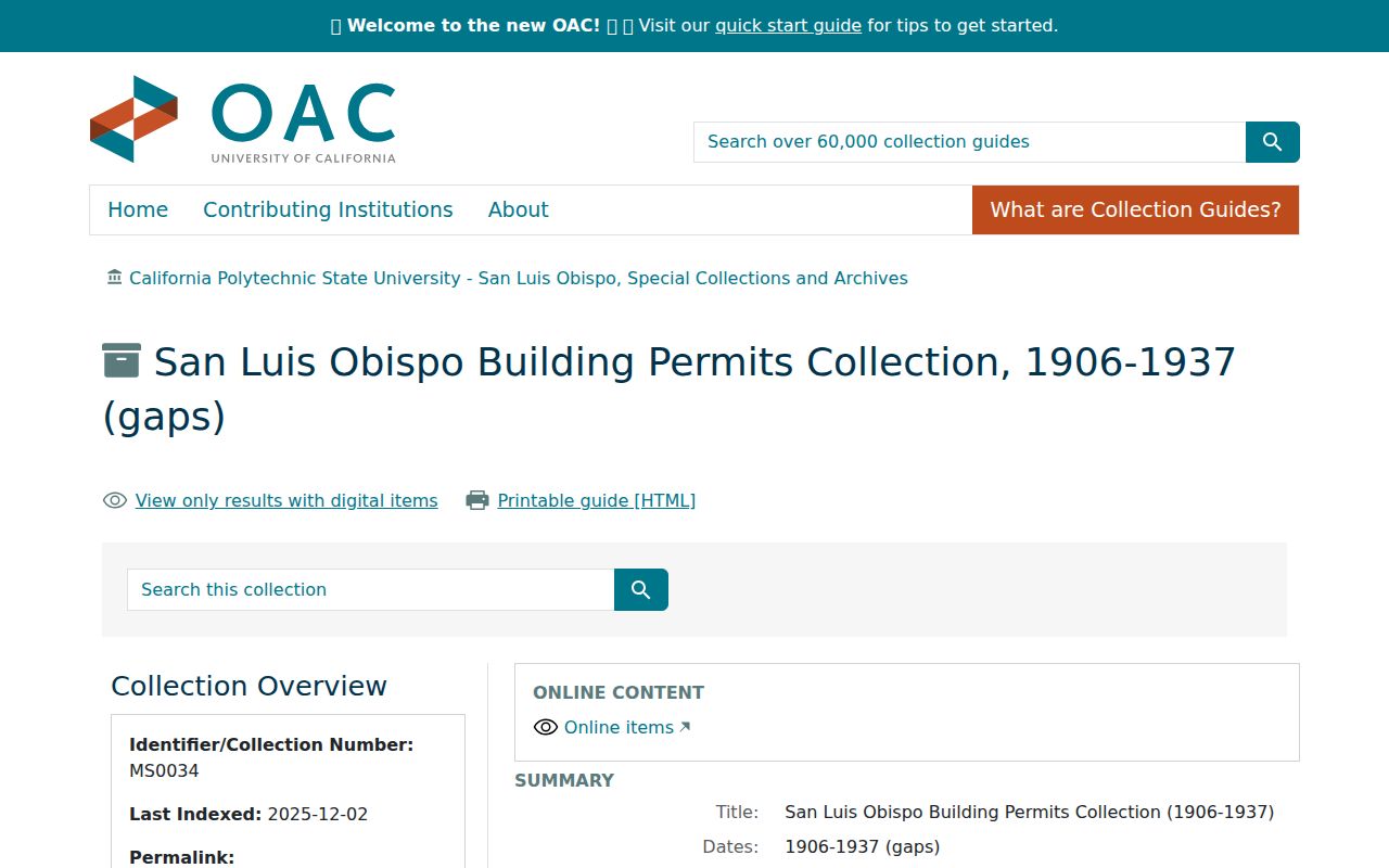
The permit collection shows why a ZIP code directory should hand an older address to the deed, map, and directory vocabulary of its own era.
Cal Poly's local map guide supplies another bridge between modern geography and older blocks. Use a map to compare a street or structure, then cite the underlying directory or record for a person's name.
The Cal Poly San Luis Obispo map guide is the source captured for the map route.
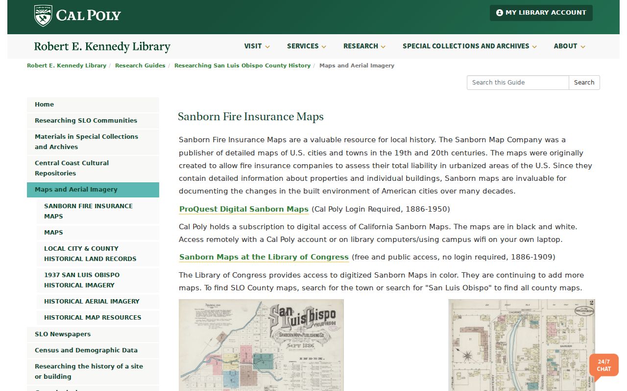
Map context helps explain an address change, but it does not turn a historical building footprint into a resident list.